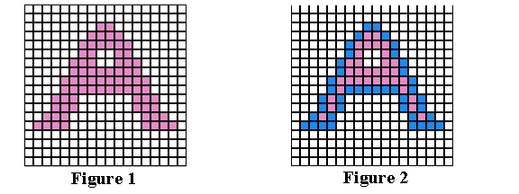
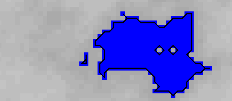
I was wondering, if someone was interested in writing a contour tracing algorithm. Why? Most terrain generators do not really know what they're doing. The oceans, lakes, mountains they create are the result of pure randomness. This makes it necessary to identify the structures _after_ they have been created.
This identification can be done by finding connected areas and this is exactly what contour tracing does.

This website here gives a nice overview on different algorithms:
http://www.imageprocessingplace.com/downloads_V3/root_downloads/tutorials/contour_tracing_Abeer_George_Ghuneim/alg.html
I even found an implementation (not sure which algo this is, though) under CC-BY-SA 3.0 license.
https://github.com/biometrics/imagingbook/blob/master/src/contours/ContourTracer.java
If someone could port this to TS, we could use it to identify lakes, forests, deserts, etc. This, in turn, would make it possible to give them names, place sawmills and harbors, lighthouses and oases.
This identification can be done by finding connected areas and this is exactly what contour tracing does.

This website here gives a nice overview on different algorithms:
http://www.imageprocessingplace.com/downloads_V3/root_downloads/tutorials/contour_tracing_Abeer_George_Ghuneim/alg.html
I even found an implementation (not sure which algo this is, though) under CC-BY-SA 3.0 license.
https://github.com/biometrics/imagingbook/blob/master/src/contours/ContourTracer.java
If someone could port this to TS, we could use it to identify lakes, forests, deserts, etc. This, in turn, would make it possible to give them names, place sawmills and harbors, lighthouses and oases.

